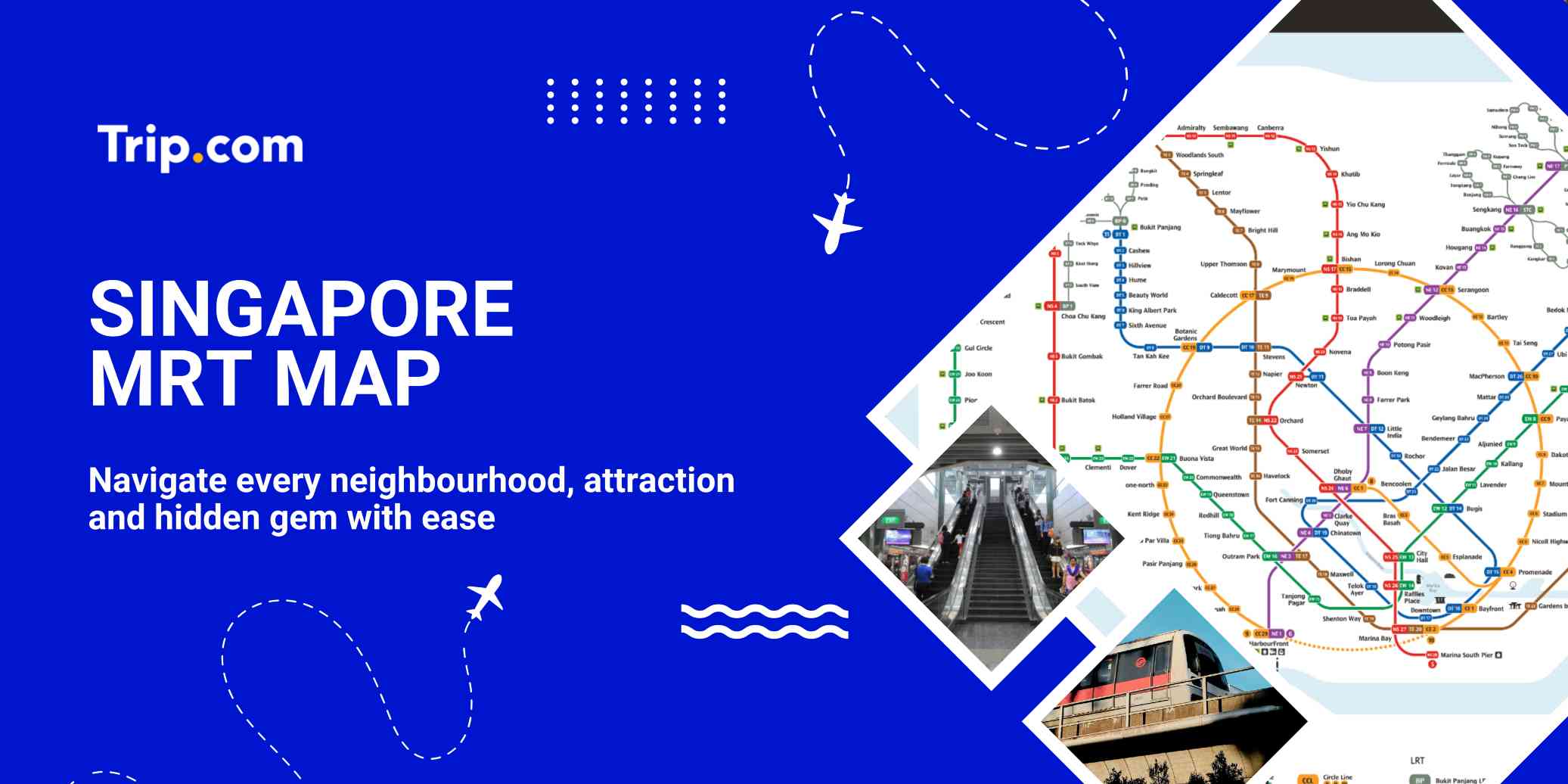
Singapore MRT Map : Updated Lines, Fares & Tourist Guide

Author's Profile Picture
Singapore MRT Map 2025

Singapore’s MRT is one of the quickest and easiest ways to get around the city. It’s clean, reliable, and budget-friendly, making it simple to reach most major attractions. With an EZ-Link card or a single-trip ticket, you can jump on a train and explore everything from shopping districts to cultural spots and scenic parks.

Here’s your tourist-friendly guide to the Singapore MRT map and the must-visit attractions near each line.

Singapore MRT Fares and Ticketing Systems

The MRT Singapore fares are dependent on the distance travelled and the type of ticket used. The Singapore MRT ticket fares are divided into two categories: adult fares and senior citizen/student fares.

There are also other types of tickets available, such as the Singapore Tourist Pass, which offer up to 5 days with reasonable price. Passengers are encouraged to check the fare calculator on the webpage to determine the fare for their intended journey.

Factor

Adult Fares (SGD)

Senior Citizen/Student Fares (SGD)

Distance Travelled

S$0.92 - S$3.10

S$0.50 - S$1.55

Type of Ticket

Standard or EZ-Link card

Standard or Senior Citizen/Student concession card

Discount

10% off standard adult fare with EZ-Link card

N/A

Singapore MRT Operating Hours

The Singapore MRT operating hours:

  • The first train departs from most MRT stations at around 5:30 a.m.
  • The last train departs from most MRT stations at around 12:00 a.m. (midnight).

However, operating hours may be extended during special occasions like New Year's Eve or the eve of public holidays, and during major events. Additionally, some lines or sections of lines might have slightly different timings. 

💡 Pro Tip: Arrive early at popular attractions in Singapore to enjoy the view before the crowds build up.

Overview of the Singapore MRT Lines

All MRT Line Map

Source: Land Transport Authority Singapore

The Singapore MRT map is the backbone of the city’s public transport network, offering fast, reliable connections across the island and linking key districts, popular attractions, and residential neighbourhood. Here’s a quick guide to each main MRT line so you can plan your journey with ease.

North-South Line (Red Line)

Map for North-South Line.

Source: Land Transport Authority Singapore

The North-South Line runs from Marina South Pier in the south to Kranji and Woodlands in the north, passing through major stops like Orchard, Dhoby Ghaut, and Bishan. It’s ideal for reaching shopping districts, the CBD, and connecting to other MRT lines. The MRT system comprises several lines, each denoted by a specific color on the singapore MRT map with tourist attractions, making travel quick and easy.

Attractions Near North-South Line

Station / Area

Nearby Attraction

Description

Orchard

Orchard Road

Singapore’s famous shopping street with malls, brands, dining, and entertainment.

Raffles Place / Marina Bay

Marina Bay Sands & Merlion Park

Visit iconic landmarks, SkyPark views, light shows, and the Merlion statue.

Dhoby Ghaut

National Museum & Fort Canning

Oldest national museum + a green hilltop park with heritage sites.

Bishan

Bishan-Ang Mo Kio Park

Large urban park great for picnics, walking, cycling, and family activities.

East-West Line (Green Line)

Map for East-West Line.

Source: Land Transport Authority Singapore

The East-West Line is one of the longest routes, linking Changi Airport in the east to Tuas Link in the far west. It’s perfect for airport transfers and visiting attractions such as East Coast Park, Bugis, and Jurong East.

Attractions Near East-West Line

Station / Area

Nearby Attraction

Description

Changi Airport

Jewel Changi

Indoor waterfall, greenery, shops & dining under a huge glass dome.

Bedok

East Coast Park

Cycling, beachside views, seafood & picnic spots.

Bugis

Bugis Street Market

Bargain fashion, souvenirs, snacks & bubble tea.

Jurong East

Science Centre, Westgate, JCube

Family attractions, malls & an ice-skating rink.

Circle Line (Yellow Line)

Map for Circle Line.

Source: Land Transport Authority Singapore

The Circle Line (Yellow Line) loops around central Singapore, connecting areas like HarbourFront, Botanic Gardens, and Paya Lebar. It’s a favourite for avoiding city centre congestion while still reaching key places.

Attractions Near Circle Line

Station / Area

Nearby Attraction

Description

HarbourFront

VivoCity & Sentosa Access

Biggest mall + gateway to Sentosa, USS & beaches.

Botanic Gardens

Singapore Botanic Gardens

UNESCO site with themed gardens & Orchid Garden.

Esplanade

Esplanade – Theatres on the Bay

Arts centre with shows & Marina Bay night views.

Nicoll Highway / Bugis

Haji Lane & Kampong Glam

Street art, indie shops, cafés & Sultan Mosque.

💡 Pro Tip: Use Trip.com to book Lion City bike tours in Singapore in advance; they often include skip-the-line access and get some nice pictures.

North-East Line (Purple Line)

Map for North East Line.

Source: Land Transport Authority Singapore

The North-East Line runs from HarbourFront to Punggol, passing through Clarke Quay, Chinatown, and Serangoon. It’s popular for nightlife spots, cultural districts, and connecting to vibrant neighbourhoods.

Attractions Near North-East Line

Station / Area

Nearby Attraction

Description

Chinatown

Chinatown District

Heritage streets, temples, and authentic hawker food.

Clarke Quay

Clarke Quay

Lively nightlife, riverside dining, and river cruises.

Little India

Little India & Mustafa Centre

Colourful culture, temples, spice shops, and 24-hour shopping.

Punggol

Punggol Waterway Park & Coney Island

Scenic cycling routes, nature trails, and waterfront views.

Thomson-East Coast Line (Brown Line)

TEL4 System Map

Source: Land Transport Authority Singapore

The Thomson-East Coast Line is Singapore’s newest MRT line, designed to improve connectivity between the northern, central, and eastern regions of the island. Fully operational by 2025, TEL runs through key areas such as Woodlands, Thomson, Orchard, Marina Bay, and East Coast, making travel faster and more convenient for both commuters and tourists.

Attractions Near Thomson East-Coast Line

Station / Area

Nearby Attraction

Description

Woodlands

Woodlands Waterfront

Sea views, long jetty, and seafood dining.

Orchard

Orchard Road

Singapore’s top shopping belt with malls, cafés, and brands.

Marina Bay / Gardens by the Bay

Gardens by the Bay

Supertrees, Cloud Forest, and nightly Garden Rhapsody lights.

East Coast

East Coast Park

Beaches, cycling paths, and seaside dining options.

Downtown Line (Dark Blue Line)

Downtown Line

Source: Land Transport Authority Singapore

The Downtown Line (DTL) is one of Singapore’s most important MRT lines, connecting the east, central, and northwest regions of the island. Spanning 42 kilometers with 34 stations, it is the longest underground and driverless MRT line in Singapore, making commuting faster and more convenient for both locals and visitors.

Opened in stages between 2013 and 2017, the Downtown Line links major residential estates, business hubs, and tourist attractions. It’s also fully underground, offering a smooth and air-conditioned ride across the city.

Attractions Near Downtown Line

Station / Area

Nearby Attraction

Description

Bugis

Bugis Street Market

Bargain shopping, souvenirs, and popular street snacks.

Little India

Little India

Temples, spices, and colourful heritage streets.

Botanic Gardens

Singapore Botanic Gardens

UNESCO site with themed gardens and orchid displays.

Beauty World

Bukit Timah Nature Reserve

Hiking trails, rich biodiversity, and Singapore’s highest hill.

❤️Tip: For a convenient night stay, look for best hotels in Singapore in advance to secure the best rates as prices rise quickly during the peak season.

Future MRT Map

Future MRT map Singapore’s system continues to expand with new lines improving connectivity across the island. With upcoming lines like the Jurong Region Line, Cross Island Line, and Johor Bahru–Singapore RTS Link, travelers can look forward to faster journeys and easier access to top attractions, shopping malls, and nature parks.

Jurong Region Line (Soft Blue Line)

Jurong Region Line

Source: Land Transport Authority Singapore

The Jurong Region Line is Singapore’s upcoming MRT line that will serve the western part of Singapore, particularly the Jurong Lake District, Tengah, and Nanyang Technological University (NTU). Expected to open in stages starting from 2027, the JRL will significantly improve transport connectivity for residents, students, and workers in the west.

Attractions Near Jurong Region Line

Station / Area

Nearby Attraction

Description

Jurong Lake District

Jurong Lake Gardens

Lakeside walks, landscaped gardens, and family play zones.

Jurong Lake District

Science Centre (New Site)

Modern science exhibits, workshops, and hands-on learning.

Jurong East

IMM & JCube

Outlet shopping, dining, and ice-skating entertainment.

Choa Chu Kang

Choa Chu Kang Park

Open lawns, fitness areas, and peaceful green spaces.

Cross Island Line (CRL) ( Light Green Line )

Cross Island Line

Source: Land Transport Authority Singapore

Expected to open in 2030, the Cross Island Line (CRL) will run from Changi to Jurong, linking the east, northeast, and west regions. This line provides direct connections to nature reserves, heartland hubs, and business districts.

Attractions Near Cross Island Line

Station / Area

Nearby Attraction

Description

Changi

Jewel Changi

Rain Vortex waterfall, indoor gardens, and retail paradise.

Pasir Ris

Pasir Ris Park & Downtown East

Beachside paths, cycling, and Wild Wild Wet waterpark.

Hougang

Hougang Mall & Heartland Retail

Local shops, cafés, and everyday neighbourhood life.

Bright Hill

MacRitchie Reservoir

Treetop Walk, forest trails, and calm waterside views.

West Coast

West Coast Park

Cycling, playgrounds, and breezy coastal scenery.

Johor Bahru–Singapore RTS Link

RTS Link

Source: MRT Corp

The Johor Bahru–Singapore Rapid Transit System (RTS) Link, scheduled to open by 2027, connects Woodlands North in Singapore to Bukit Chagar in Johor Bahru, Malaysia. This cross-border line offers a smoother, faster commute between both cities.

Attractions Near RTS Link (Singapore Side)

Station / Area

Nearby Attraction

Description

Woodlands North

Woodlands Waterfront Park

Long pier, seaview sunsets, and relaxing nature walks.

Woodlands North

Causeway Point

Large mall with shopping, dining, and entertainment.

Woodlands (via buses)

Singapore Zoo & River Wonders

World-class wildlife parks with immersive animal habitats.

💡 Pro Tip: Book your flights early, especially during weekends or festivals. Prices rise fast, and early bookings on Trip.com often come with extra discounts.

Book Hotels in Singapore Now

See All Hotels
NO.1
9.8/10176 reviews
Raffles Singapore
Hotel in Singapore
Sauna
Airport pickup service
NO.2
9.5/10342 reviews
Capella Singapore
Hotel in Singapore
Airport pickup service
Restaurant
NO.3
9.5/1098 reviews
The Fullerton Bay Hotel Singapore
Hotel in Singapore
Airport pickup service
Restaurant
NO.4
9.8/106 reviews
The Laurus, a Luxury Collection Resort, Singapore
Hotel in Singapore
Airport pickup service
Restaurant
NO.5
9.5/10120 reviews
Resorts World Sentosa - Equarius Villas
Hotel in Singapore
Restaurant
24-hour front desk
NO.6
9.4/10323 reviews
The Barracks Hotel Sentosa by Far East Hospitality
Hotel in Singapore
24-hour front desk
Gym

EZ Link Card

EZ Link Pass

The EZ-Link Card is Singapore’s rechargeable smart card used for public transport and everyday payments. Just tap it on the reader to pay for MRT, buses, and even small purchases. It’s fast, convenient, and widely used by locals across the city.

How to Use the EZ-Link Card 🚋

Using an EZ-Link Card is straightforward:

  1. Purchase the card at any MRT station, TransitLink Ticket Office, or 7-Eleven.
  2. Tap in and tap out at MRT gates and buses — a “beep” confirms your payment.
  3. Check your balance on MRT gantries, bus readers, or ticket machines.
  4. Top up easily at MRT stations, 7-Eleven stores, top-up machines, or via the EZ-Link app.

Benefits of Using the EZ-Link Card 🎁

  • Convenient – No need to queue for single-trip tickets.
  • Fast – Tap-and-go saves time, especially during peak hours.
  • Cost-Effective – Some rides offer discounted fares compared to cash payments.
  • Versatile – Use it for transport, vending machines, kopi stalls, and selected retail stores.
  • Easy Reload – Top up anywhere across Singapore, including auto-reload options via the app.

FAQ about Singapore MRT

  • How do I use the MRT as a tourist?

    Tourists can buy an EZ-Link card or a Singapore Tourist Pass at any MRT station. These cards can be used on MRT trains, public buses, and some other transport services.
  • Can I bring baggage or large bags on the Singapore MRT?

    Yes, you can bring baggage or large bags on the Singapore MRT, but it's advisable to avoid peak hours when the trains are crowded. There are designated areas on the train for larger items, and it's important to be considerate to other passengers.
  • What are the MRT operating hours in Singapore?

    Most MRT lines start around 5:30 AM and run until about midnight. First and last train times vary by station, so check the schedule before travelling.
Disclaimer: This article has been provided by an individual contributor or third party platform. If there is any discrepancy regarding the copyright, please contact us directly and we will delete the content immediately.
Daisy

Daisy

Travel Lover

I’m a travel lover who can never say no to good food, stunning beaches, and the beauty of nature. Sharing my adventures and travel tips, I hope to inspire you to explore, taste, and unwind wherever you go.

79 articles
Travel EnthusiastFoodieNature Lover
>>
Singapore MRT Map