Hokkaido Map 2026 : Complete Guide to Cities, Attractions & Travel Routes

Hokkaido, the northernmost of Japan's four main islands, is a land of natural beauty, diverse landscapes, and rich history. For travelers, adventurers, and locals alike, understanding the Hokkaido map is essential to truly appreciate what this island has to offer.
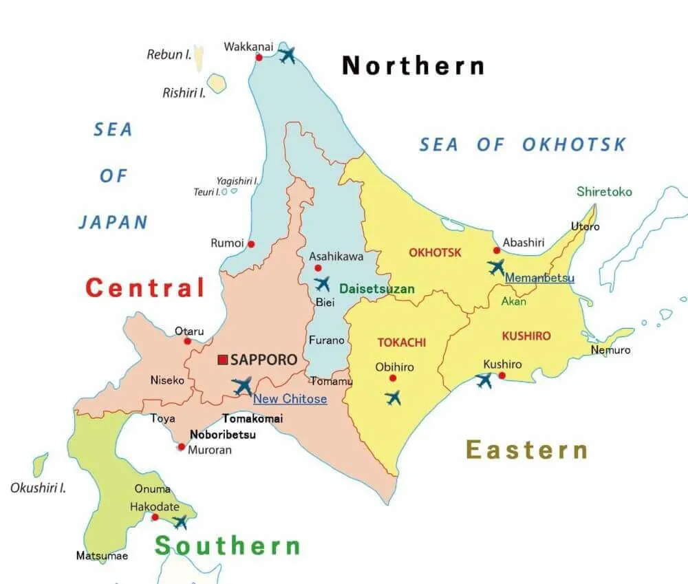
In this guide, we'll journey through the North, South, Central, and East parts of Hokkaido, highlighting their unique features and attractions.
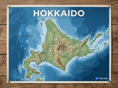
Understanding the Hokkaido Map
Hokkaido, Japan's northernmost island, is a vast expanse of diverse landscapes and cultures, each captured within its four distinct regions.
On a Hokkaido location map, the island appears roughly diamond-shaped, surrounded by dramatic coastlines and vast wilderness.
- The North is a snowy paradise, known for its serene beauty and winter activities.
- The South seamlessly blends urban allure with natural wonders, offering a taste of both worlds.
- The Central region stands as the island's cultural and urban heart, bustling with activities and attractions.
- Lastly, the East is a testament to untouched wilderness, where nature thrives in its purest form.
Together, these regions paint a holistic picture of Hokkaido, beckoning travelers to explore its many facets.
The Northern Hokkaido: A Winter Wonderland
The northern region of Hokkaido is a dream destination for those who love snow-covered landscapes and serene natural beauty. From the northernmost city of Wakkanai to the snowy terrains of Asahikawa, this region promises unforgettable experiences.
Wakkanai
As the northernmost city in Japan, Wakkanai offers breathtaking views of the Sea of Okhotsk and Russia. Serving as a gateway to the nearby Rishiri and Rebun Islands, it's a strategic point for travelers, offering a blend of urban conveniences and natural beauty.
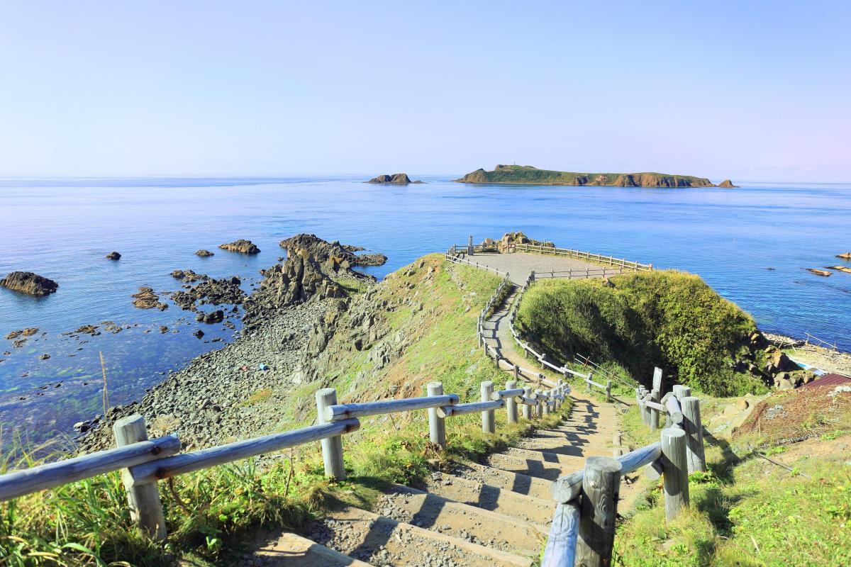
Rishiri and Rebun Islands
These islands are popular for hiking and their unique flora. Offering a serene environment away from the hustle and bustle of city life, they are a haven for nature lovers and those seeking tranquility.
Asahikawa
Home to the famous Asahiyama Zoo, Asahikawa is also a hub for skiing and snowboarding. With its vibrant city life and proximity to snowy mountains, it's a destination that offers the best of both worlds.
Must-see spots:
- Farm Tomita (lavender peak in July) – One of Hokkaido’s most iconic flower farms, bursting into vibrant shades of purple during peak lavender season.
- Shikisai-no-Oka – A stunning panorama of rolling hills covered in colourful flower stripes that change with the seasons.
- Blue Pond - Famous for its surreal, vivid blue waters and submerged tree trunks, this scenic spot looks almost otherworldly.
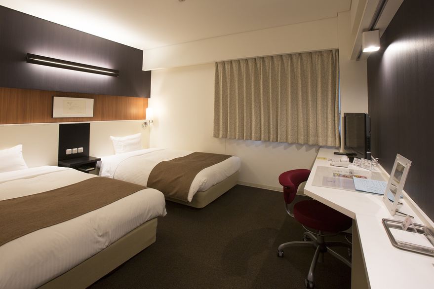
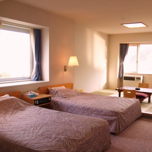
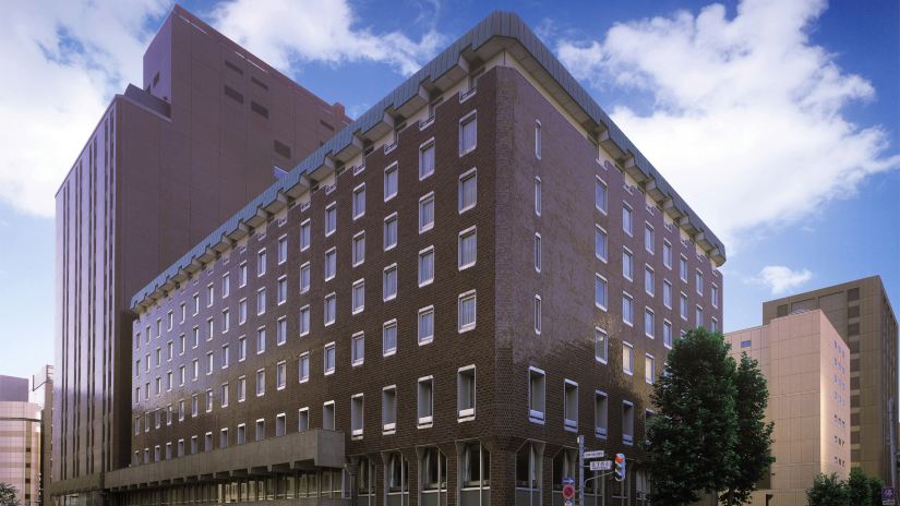
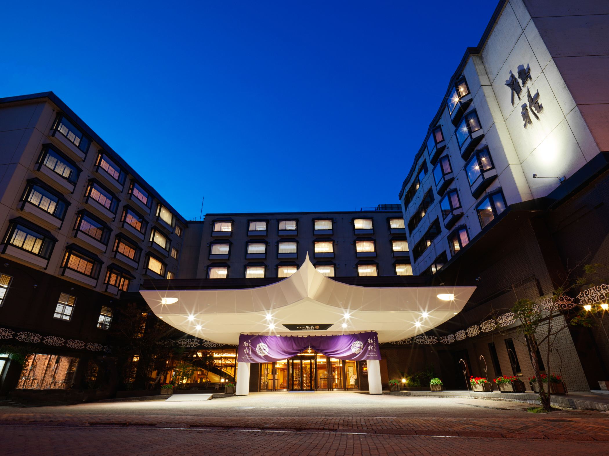
Accommodation in Northern Hokkaido

The Southern Hokkaido: A Blend of Urban and Natural Beauty
Southern Hokkaido is where urban charm meets natural splendor. The port city of Hakodate and the scenic Onuma Quasi-National Park are just a few of the region's highlights.
Hakodate
Hakodate is a port city is known for its stunning night views, historical architecture, and delicious seafood. The Goryokaku Fort and the morning market are must-visit spots, offering a blend of history, culture, and gastronomy.
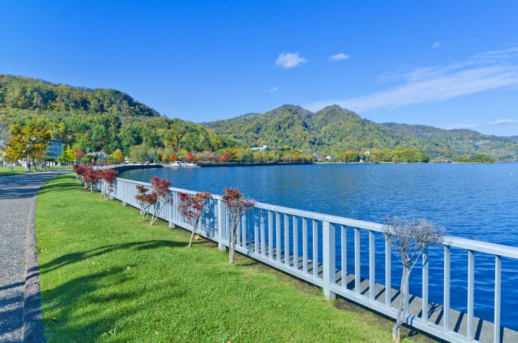
Onuma Quasi-National Park
A picturesque park with interconnected lakes and islands, it's perfect for boat rides, cycling, and nature walks. The Onuma Quasi-National Park's serene environment and scenic beauty make it a top destination for relaxation and outdoor activities.
Must-see spots:
- Hakodate Morning Market - Start your day with the freshest seafood in Hokkaido, from live squid sashimi to rich uni (sea urchin) and king crab.
- Mount Hakodate (top night view) – Ride the ropeway up for one of Japan’s most famous night views, where the city lights curve between two bays, creating a stunning, glittering panorama.
- Goryokaku – A unique star-shaped fort best seen from above at the observation tower. Visit in spring for breathtaking cherry blossoms that frame the fortress in soft pink.
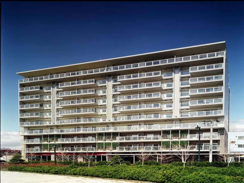
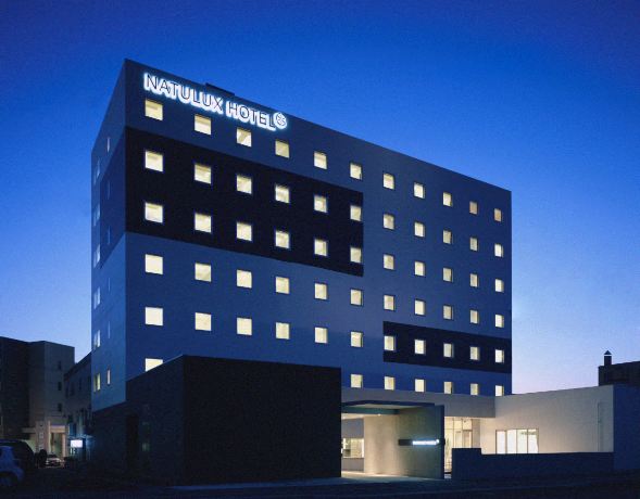
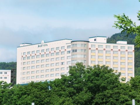
Accommodation in Southern Hokkaido

Central Hokkaido: The Heart of the Island
Central Hokkaido is the cultural and urban heart of the island. From the bustling streets of Sapporo to the serene landscapes of Furano and Biei, there's something for everyone in this region.
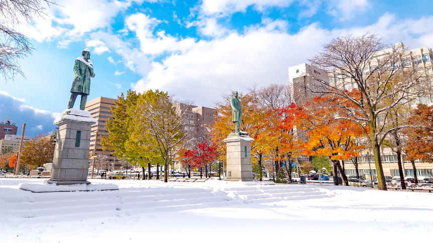
Sapporo
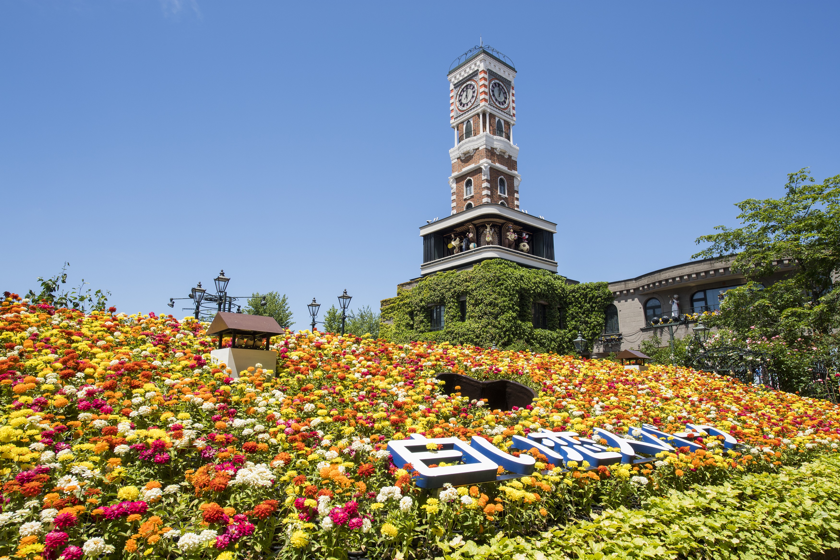
As the capital city of Hokkaido, Sapporo is famous for its beer, ramen, and the annual Snow Festival. The Sapporo TV Tower, Odori Park, and the historic Clock Tower are iconic landmarks that showcase the city's rich history and vibrant culture.
Furano and Biei
These towns are synonymous with mesmerizing lavender fields, colorful flower farms (like Farm Tomita), and rolling hills. Especially during summer, the blooming flowers create a picturesque landscape that attracts photographers and nature lovers from around the world.
Must-see spots:
- Farm Tomita (lavender peak in July) – The most famous lavender farm in Hokkaido, where endless purple fields bloom in summer, creating a dreamy, fragrant landscape that’s perfect for photos.
- Shikisai-no-Oka – A panoramic flower park showcasing vibrant, rainbow-like fields that stretch across gentle hills, offering one of the most scenic countryside views in Hokkaido.
- Blue Pond – A striking natural pond known for its vivid blue colour and submerged trees, giving it a calm, almost surreal atmosphere that changes beautifully with the seasons.
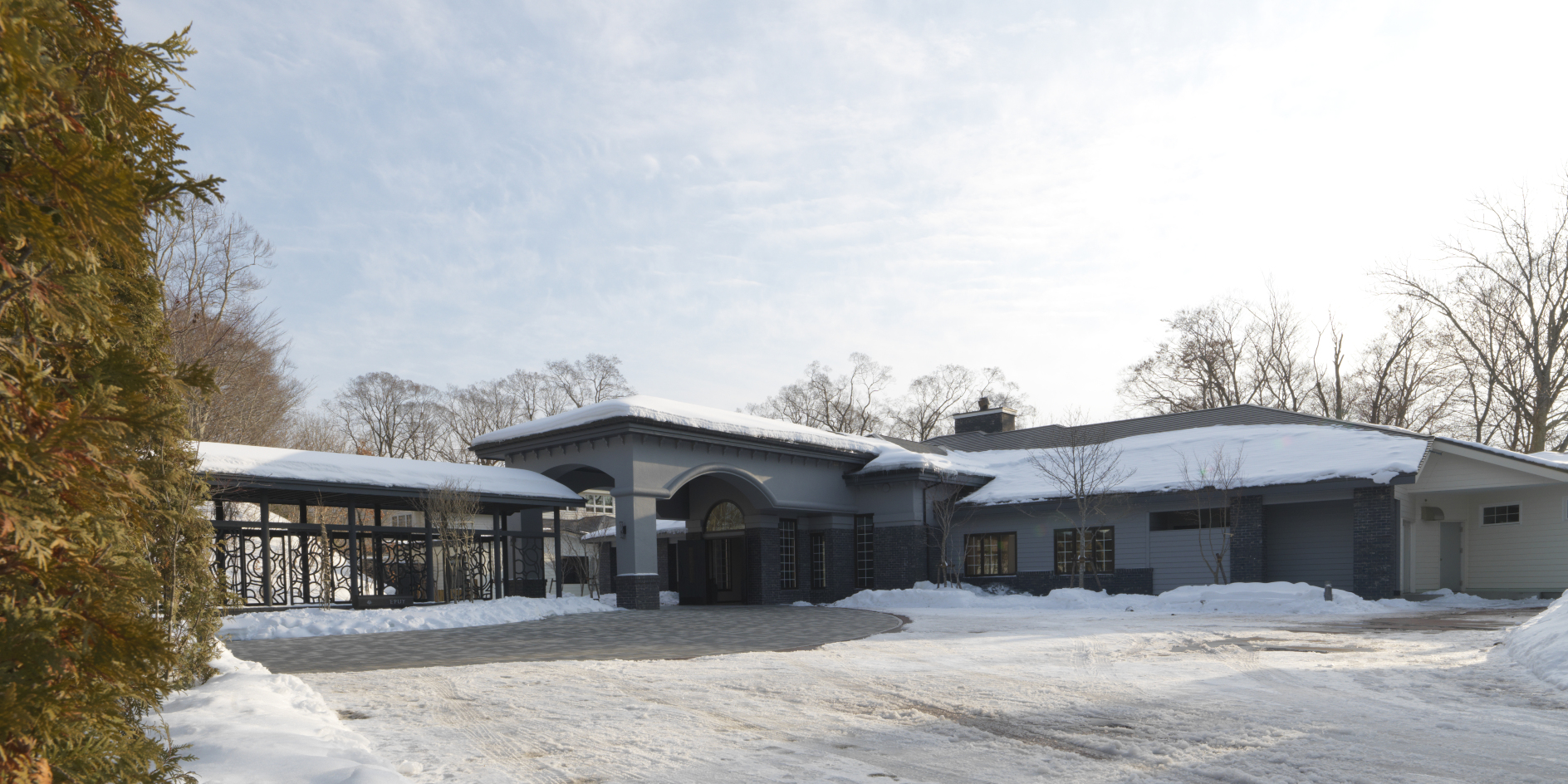
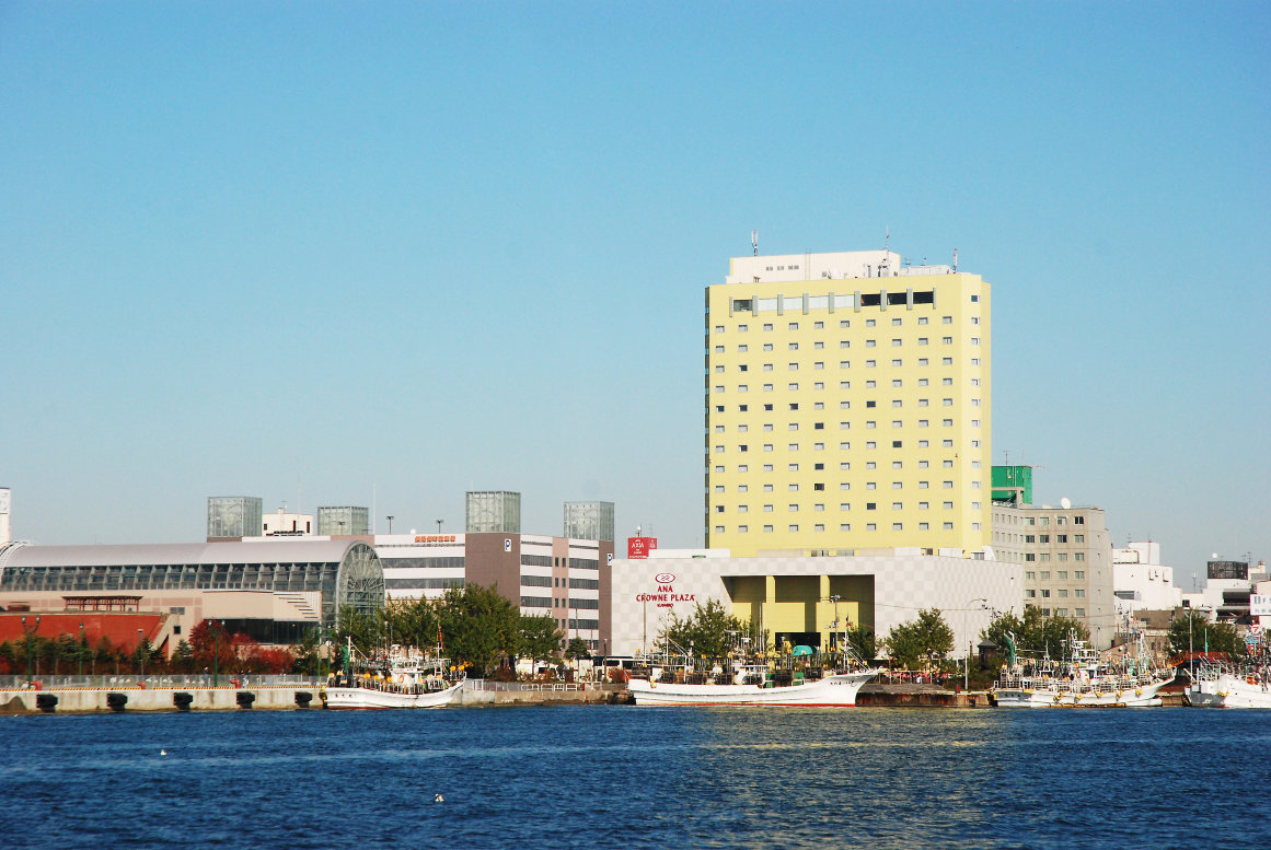
Accommodation in Central Hokkaido
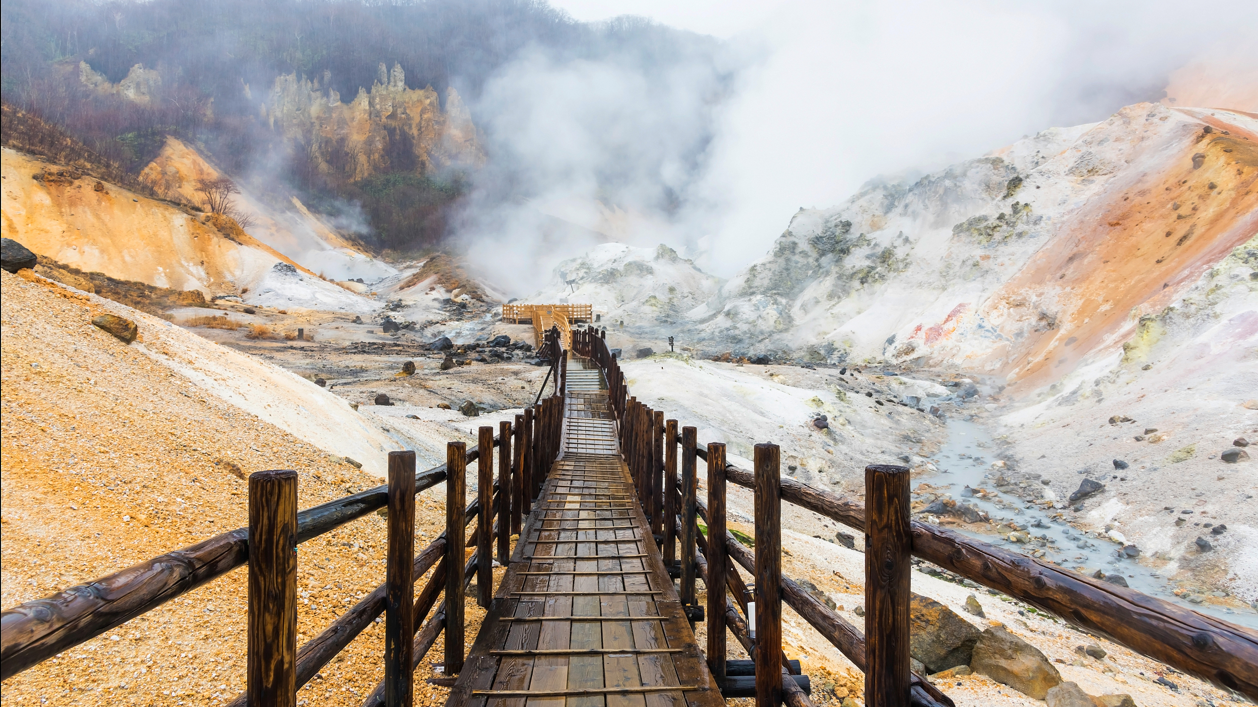
The Eastern Hokkaido: Untouched Wilderness
Eastern Hokkaido is a treasure trove of natural wonders. From the pristine lakes of Akan-Mashu National Park to the rugged terrains of the Shiretoko Peninsula, this region is a paradise for nature enthusiasts.
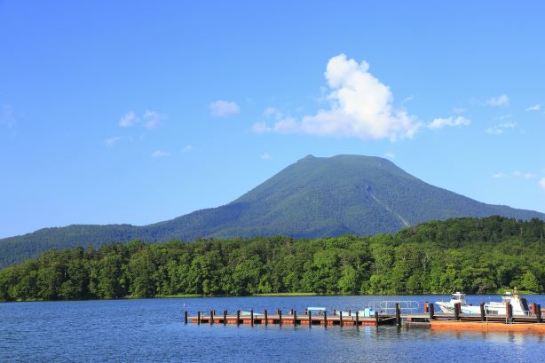
Akan-Mashu National Park
This park is home to crystal-clear lakes like Lake Mashu and Lake Akan. It's also a hub for the indigenous Ainu culture, with villages showcasing traditional crafts and performances.
Shiretoko Peninsula
A UNESCO World Heritage site, Shiretoko is known for its rich biodiversity, waterfalls, and scenic coastal areas. It's a paradise for wildlife enthusiasts, offering opportunities to spot brown bears, deer, and various bird species.
Must-see spots:
- Shiretoko Peninsula – One of Japan’s most untouched wilderness areas, known for dramatic coastal cliffs, dense forests, and wildlife like brown bears and eagles.
- Akan Mashu National Park – A vast volcanic landscape famous for its unique natural scenery and Indigenous Ainu cultural heritage around Lake Akan.
- Lake Mashu – Known for its deep blue surface and frequent mystical fog. The viewing points offer dramatic, ever-changing scenery depending on weather conditions.
Accommodation in Eastern Hokkaido
Hokkaido Railway Map: Getting Around by Train
Travelling with the Hokkaido railway map is one of the most practical ways to explore the island, especially for visitors who don’t want to drive in snow or long-distance rural roads.
The rail network is mainly operated by JR, but distances are large, so planning routes in advance is essential.
🚄 Hokkaido Shinkansen Map — Bullet Train Access from Tokyo
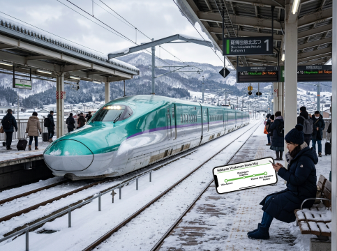
The Hokkaido Shinkansen is the fastest way to reach Hokkaido from mainland Japan.
It connects Tokyo → Shin-Aomori → through the Seikan Tunnel → Shin-Hakodate-Hokuto Station, taking approximately 4 hours total.
Key points:
- 🚆 Currently only serves southern Hokkaido (Hakodate area)
- 🔄 Travellers must transfer to local JR trains to reach Sapporo or other cities
- 📍 Planned extension to Sapporo around 2030 (not yet completed)
🚆 JR Hokkaido Train Map — Main Lines & Key Routes
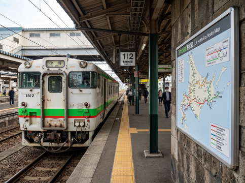
The JR network in Hokkaido connects major cities, hot spring towns, and national parks, but travel times are longer compared to mainland Japan.
Main railway lines overview
Line | Route | Highlights |
Hakodate Main Line | Hakodate ↔ Sapporo ↔ Asahikawa | Main north-south backbone |
Muroran Main Line | Sapporo ↔ Noboribetsu ↔ Lake Toya | Onsen access route |
Sekisho / Nemuro Line | Sapporo ↔ Obihiro ↔ Kushiro | Eastern Hokkaido gateway |
Soya Main Line | Asahikawa ↔ Wakkanai | Japan’s northernmost rail line |
Furano Line | Asahikawa ↔ Furano | Scenic flower fields route |
Typical Travel Times (Key Routes)
Understanding the Hokkaido railway map distances is important because travel can take longer than expected.
- Sapporo → Otaru: ~30–40 minutes
- Sapporo → Asahikawa: ~1.5 hours
- Sapporo → Hakodate: ~4 hours
- Asahikawa → Furano: ~1–1.5 hours
- Sapporo → Noboribetsu: ~1.5–2 hours
🧭 Travel Tip
The rail system is excellent for major city-to-city travel, but for rural areas like Biei, Furano, or eastern Hokkaido, combining trains with car rental is often faster and more flexible, especially outside winter peak routes.
Hokkaido Itinerary Map: Suggested Travel Routes by Season
Summer Hokkaido Route (7–8 Days): Flowers, Lakes & Wildlife
Route:
Sapporo → Asahikawa → Biei → Furano → Noboribetsu → Lake Toya → Otaru → Sapporo
Best time:
- June–August (lavender peak in July)
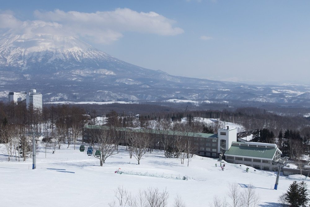
Winter Hokkaido Route (6–7 Days): Snow Festivals, Onsen & Skiing
Route:
Sapporo → Otaru → Lake Toya → Noboribetsu → Niseko → Sapporo
Highlights:
- Sapporo Snow Festival
- Skiing in Niseko/Rusutsu/Kiroro
- Onsen experiences
Travel to Hokkaido Easily
Hokkaido, with its diverse regions, offers a unique blend of experiences for every traveler. Whether you're drawn to the snowy landscapes of the North, the urban charm of the South, the cultural heartbeat of the Central, or the natural wonders of the East, the Hokkaido map is your key to unlocking the treasures of this beautiful island.
Read More
 1467497 booked


![[July-August Promotion] Melbourne Puffing Billy Steam Train + Phillip Island & Penguin Island Day Trip](https://ak-d.tripcdn.com/images/0353412000owxc2zf0430_C_568_320.jpg)

FAQs about Hokkaido Map
-
What is the most beautiful part of Hokkaido?
-
Which part of Hokkaido should I visit?
-
Why is Hokkaido so different from the rest of Japan?
-
What is the most famous city in Hokkaido?
-
Is there a downloadable Hokkaido map PDF in English?
-
How do I get around Hokkaido using the map?
Recommedations
-
Featured guides
-
Trip.com links
- train to kl from singapore
- Shanghai Metro
- China Power Bank Limit
- mdac malaysia
- Renew Autopass Singapore
- Trip.com Customer Service
- Vietnam Arrival Card
- universal studios singapore tickets
- Batam Arrival Card
- Anywheel Singapore
- 新加坡地铁图
- Busan Metro
- China Entry Requirements
- Touch n Go App
- Singapore Airlines Baggage Allowance
- Big Transport from Tokyo to Fukuoka
- Osaka Station to Kyoto Station
- Bangkok to Pattaya
- Trip.com Promo Code
- Trip.com Flight Deals
- Trip.com Credit Card Promotions
- How to Book Cheap Hotels
- How to Book Cheap Flights
- Trip.com Member Rewards
- Trip Weekly Hotel Sales
- Online Hotel Booking
- Online Flight Booking
- Trip.com Travel Guide
- Book China Train Tickets
- Trip.com Seat Selection
- Singapore Public Holidays 2027
- Trip.com 优惠码
- Trip.com Travel Guides